What is the Route 40 Santa Cruz Corridor
National Route 40 — the legendary "Ruta 40" — is the longest highway in Argentina and one of the most iconic in the world. Its stretch through the province of Santa Cruz covers about 1,400 km (870 miles), running from the Chilean border to Río Gallegos and connecting the Atlantic Ocean with the Andes mountain range across the Patagonian steppe.
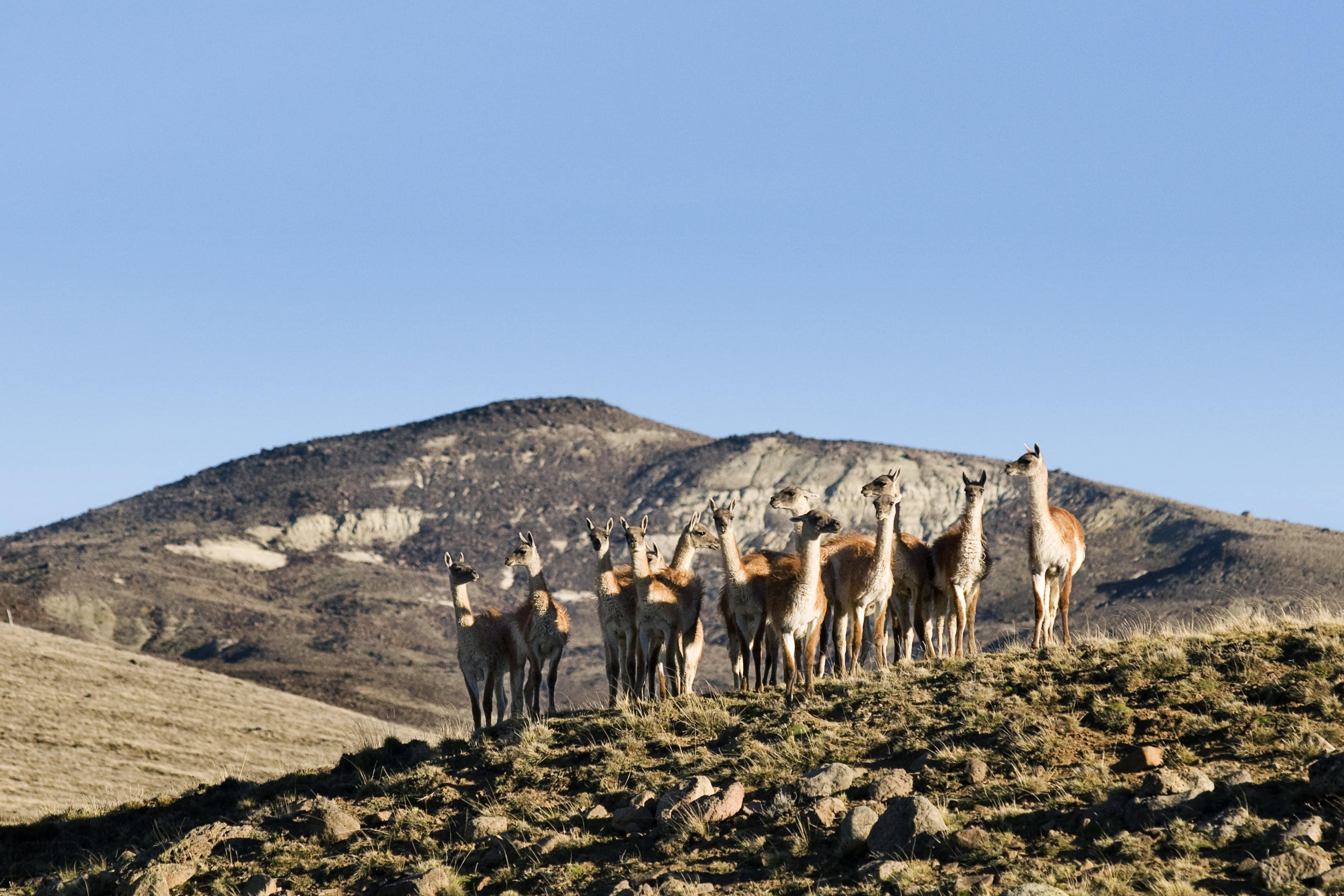
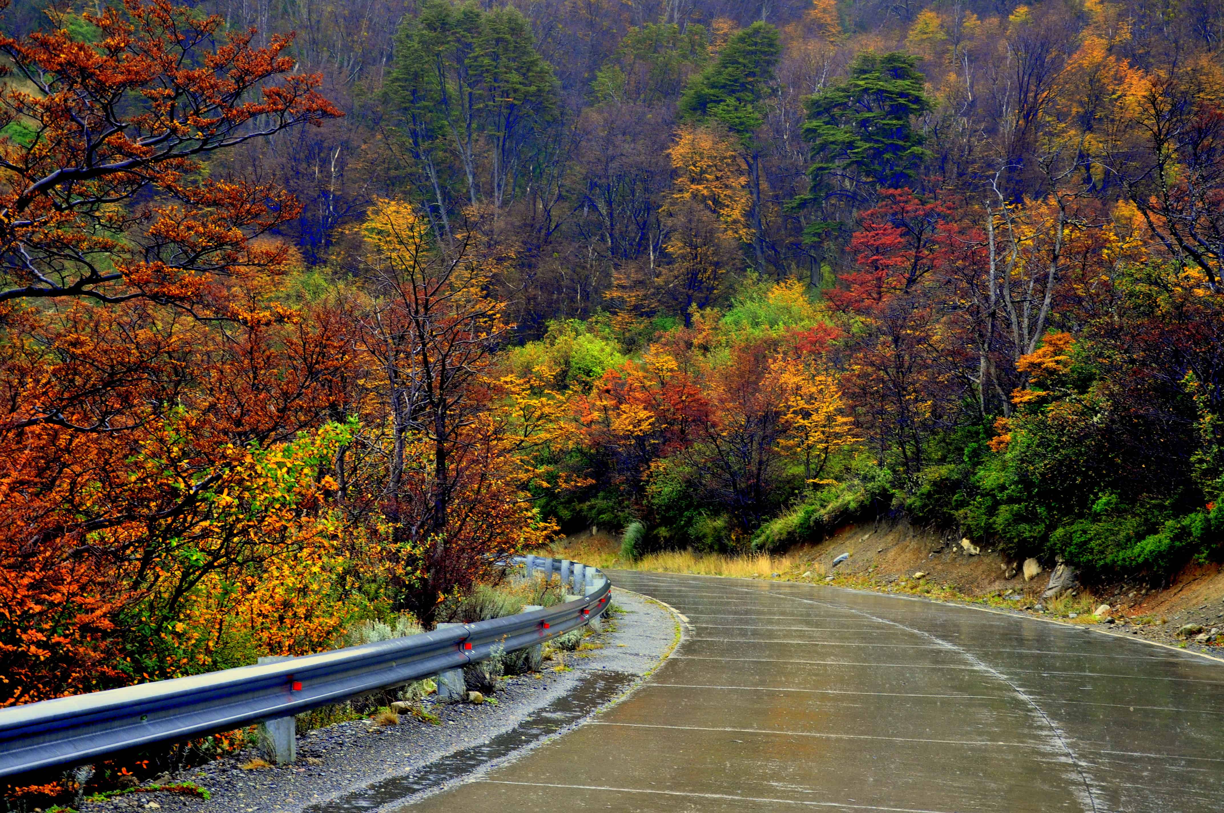
This corridor is not just a road between destinations. It is an experience in itself: the immensity of the steppe, the biggest sky you've ever seen, guanacos grazing along the roadside, condors soaring over the cliffs, and the feeling of traveling through a landscape frozen in time.
The Route 40 stretch through Santa Cruz spans approximately 1,400 km (870 miles). Driving it end to end takes 5 to 7 days depending on your pace and stops. You can also do it in sections based on the destinations you choose.
The main destinations from north to south

Los Antiguos
Northern Santa CruzArgentina's "National Cherry Capital" marks the start of the corridor. On the shores of Lake Buenos Aires — the largest in Argentina — it combines fruit farms, hiking trails into Patagonia National Park, and a tranquility that's hard to find anywhere else. The border crossing into Chile at Paso Los Antiguos is just minutes away.
Perito Moreno (town)
Rock Art CapitalNot to be confused with the glacier. This town is the gateway to Cueva de las Manos, a World Heritage Site with cave paintings more than 9,000 years old — among the oldest on the continent. It's also a base for exploring the enormous Lake Buenos Aires and the surrounding steppe.
Gobernador Gregores
Sport fishingAccess point to Perito Moreno National Park (yes, another one — no glaciers here, but enormous wildlife diversity) and gateway to the legendary Lake Strobel, known worldwide as "Jurassic Lake" for the extraordinary size of its rainbow trout. A cult destination for anglers from around the globe.
Tres Lagos
Art and petrified forestA small town surrounded by lakes Viedma, Tar, and San Martín. It's home to the southernmost petrified forest in South America — with trees 90 million years old — and Piedra Clavada, a geological formation over 20 meters (65 feet) tall that stuns with its size and solitude.
El Chaltén
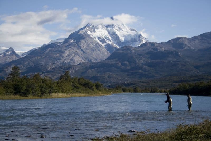
National Trekking CapitalFounded in 1985, El Chaltén is the youngest town in Argentina and one of the most renowned trekking destinations in the world. Mount Fitz Roy and Cerro Torre dominate the horizon. With more than 50 free hiking trails, it is unrivaled in Patagonia for outdoor lovers. You can visit it on a full-day excursion from El Calafate.
El Calafate
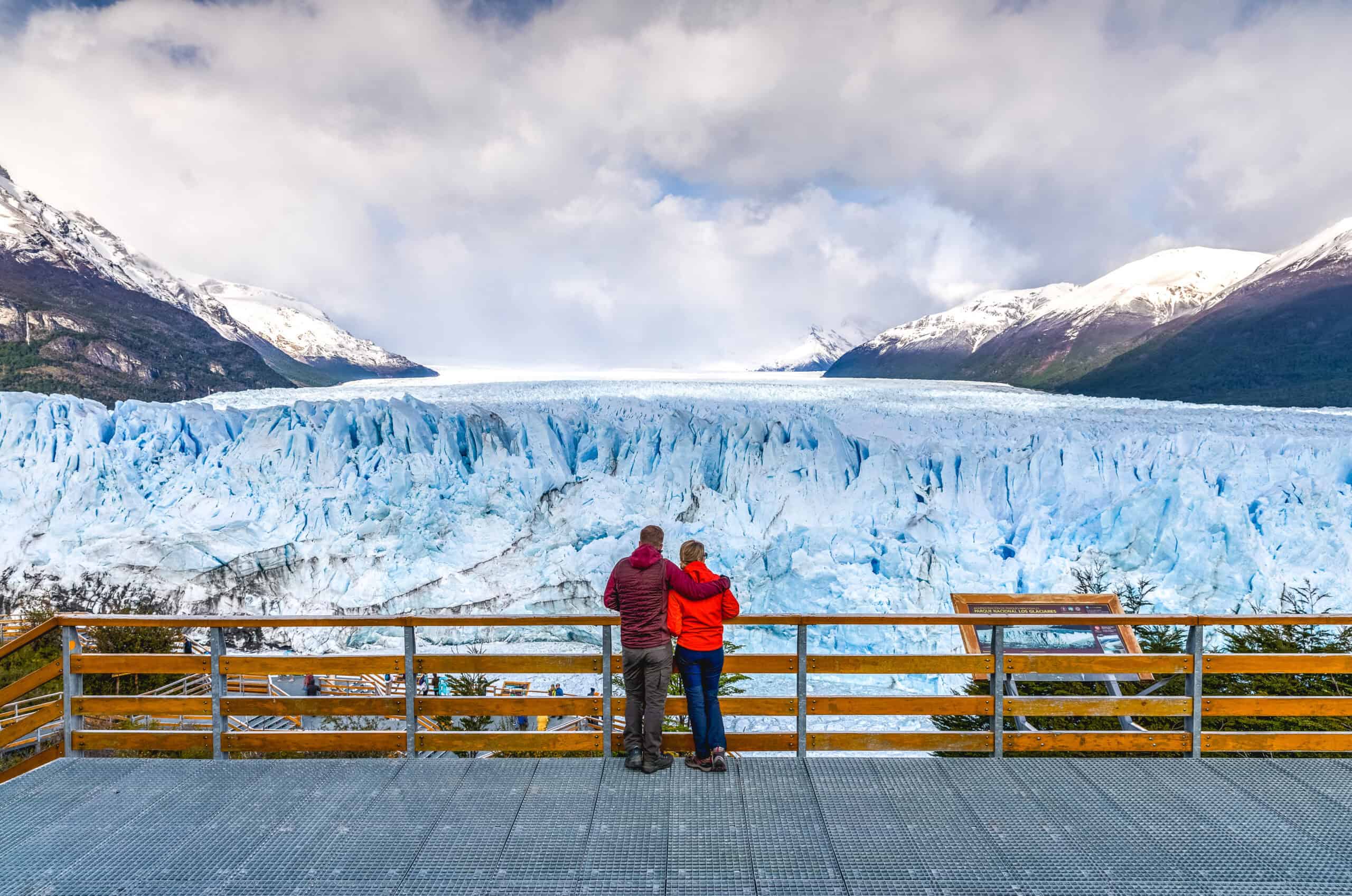
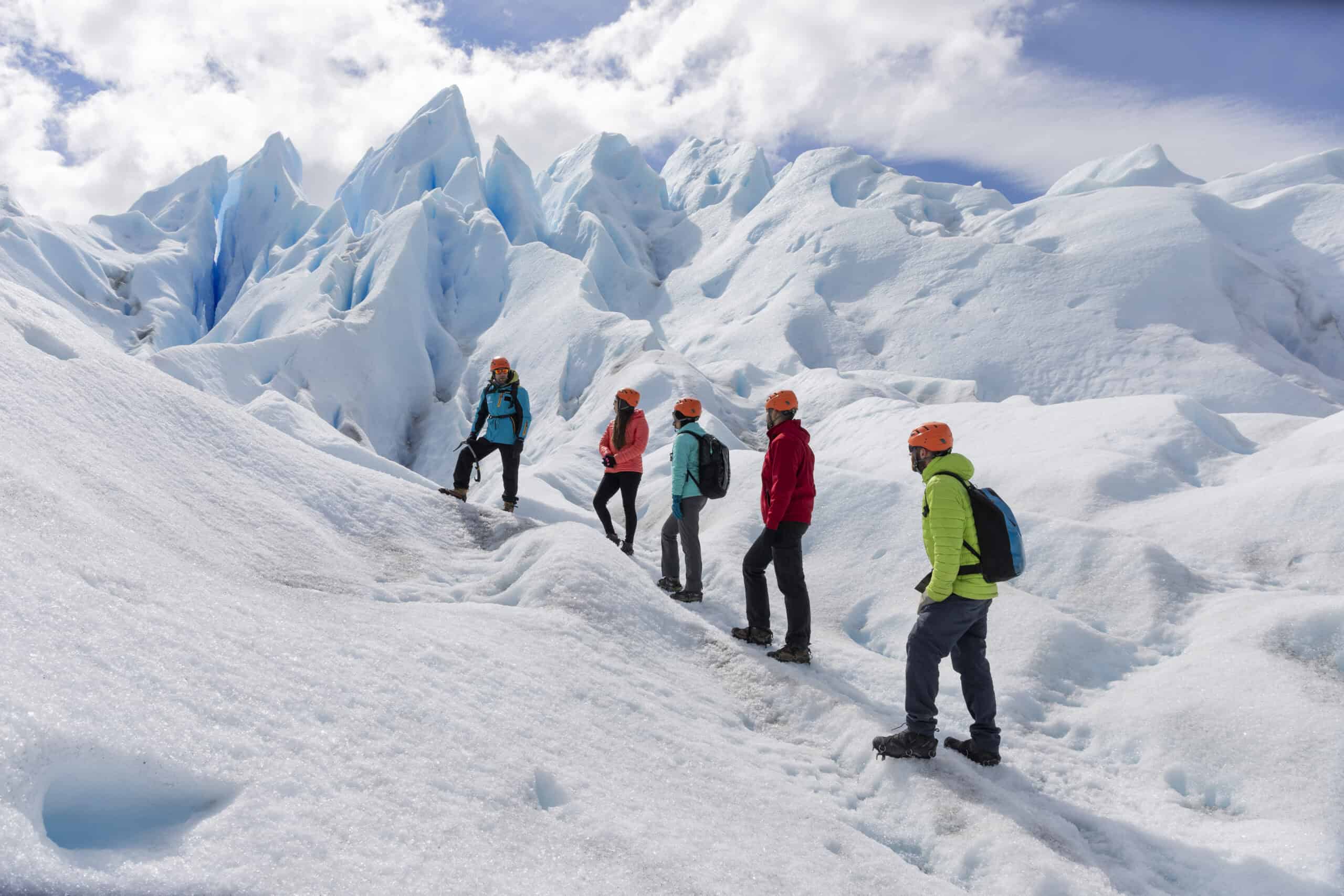
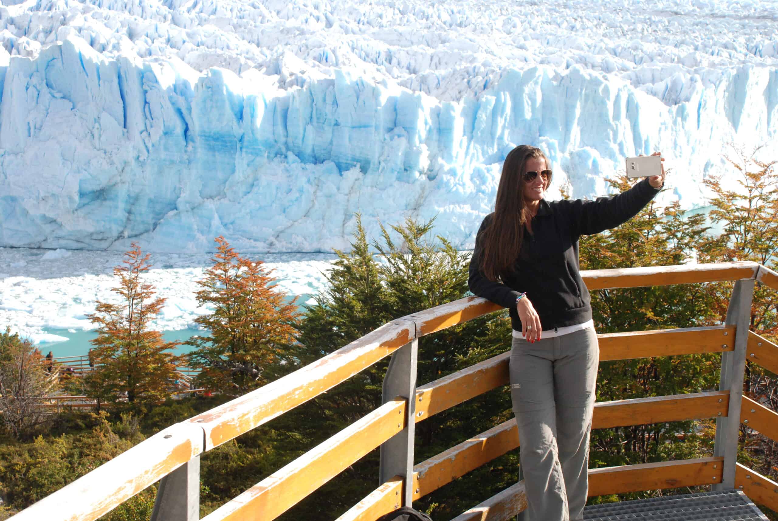
Perito Moreno GlacierThe most visited destination on the corridor. On the shores of Lake Argentino, El Calafate is the gateway to Los Glaciares National Park and the Perito Moreno Glacier. It offers the best tourist infrastructure along the entire Santa Cruz stretch of Route 40.
Río Gallegos
Capital of Santa CruzThe corridor ends at the provincial capital. A service city with a waterfront promenade along the estuary, Patagonian estancias in the surrounding countryside, and access to the Cabo Vírgenes Provincial Reserve — where Route 40 officially begins — with its colony of Magellanic penguins.
El Calafate: the hub of the corridor
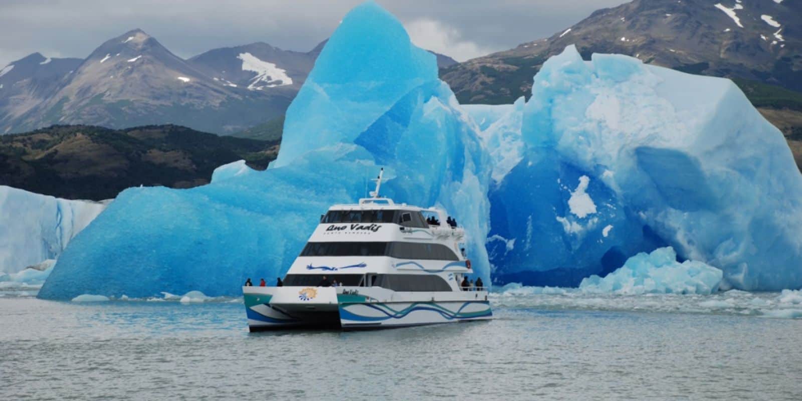
Within the Route 40 corridor, El Calafate is the most developed tourism hub. From here you can take excursions to El Chaltén, visit the Perito Moreno Glacier, sail Lake Argentino, and enjoy first-class services that simply don't exist elsewhere along the corridor.
For travelers doing Route 40 in sections, El Calafate is usually the longest stop — 2 to 4 nights — and the place where most activities are concentrated.
Tips for driving Route 40 in Santa Cruz
- A car is essential. There is no regular public transportation between the corridor's destinations. Your options are your own car, a rental, or point-to-point excursions from each town.
- Check road conditions. Part of the stretch is gravel. In winter there may be ice, and at any time of year the wind can reduce visibility. Check the road conditions before setting out.
- Carry enough fuel. Distances between gas stations are long. Between some towns there can be more than 200 km (125 miles) with no place to refuel.
- Book accommodation in advance. In the smaller towns the options are limited and fill up fast in high season.
- The cold surprises you year-round. Even in summer, nighttime temperatures drop to 0°C (32°F) in higher areas. Always pack warm layers.